India is using a fleet of drones to map the country in incredible detail

R Sinduja
News Editor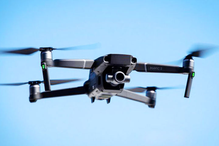
Image Credit: shortpedia
How will you map one of the largest countries in the world? The Indian government along with the Survey of India is using a fleet of 300 drones to capture aerial footage and converted into highly detailed maps using artificial intelligence; to map the country in incredible detail. The first area to survey is the Ganges river basin, which is being mapped at an accuracy of 10cm. The new maps will have a scale of 1:500.