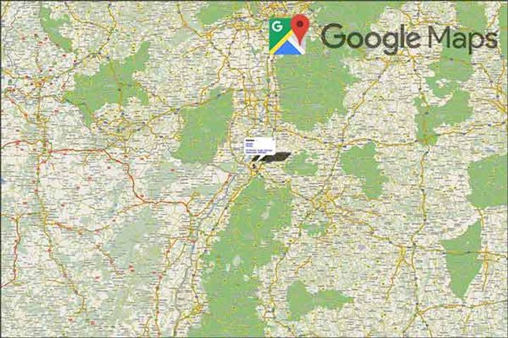
Google Maps now covers more than 98% of the world's population
Shortpedia
Content Team
Image Credit: shortpedia
Search giant Google Maps has captured more than 10 million miles of Street View imagery. Google revealed the stat on Friday. The company also revealed that Google Earth has a total of 36 million square miles of satellite imagery for people to browse. With that collection, Google has mapped out the parts of the world where 98% of people live. Google maps is used by more than one billion users every month.


